US Traffic Accident Analysis
Data-Driven Insights for Road Safety
This comprehensive dataset encompasses over 7.7 million traffic accidents from 49 states, providing vital insights into national road safety trends from 2016 to 2023.
Key Questions

When do accidents occur?
This analysis examines hourly, daily, and seasonal accident patterns.

How does weather affect severity?
We examine how rain, snow, fog, and other conditions impact traffic disruption severity.

Where are accidents concentrated?
Analysis reveals geographic hotspots for targeted intervention.
Temporal Patterns
Hourly Accident Distribution
Seasonal Accident Trends
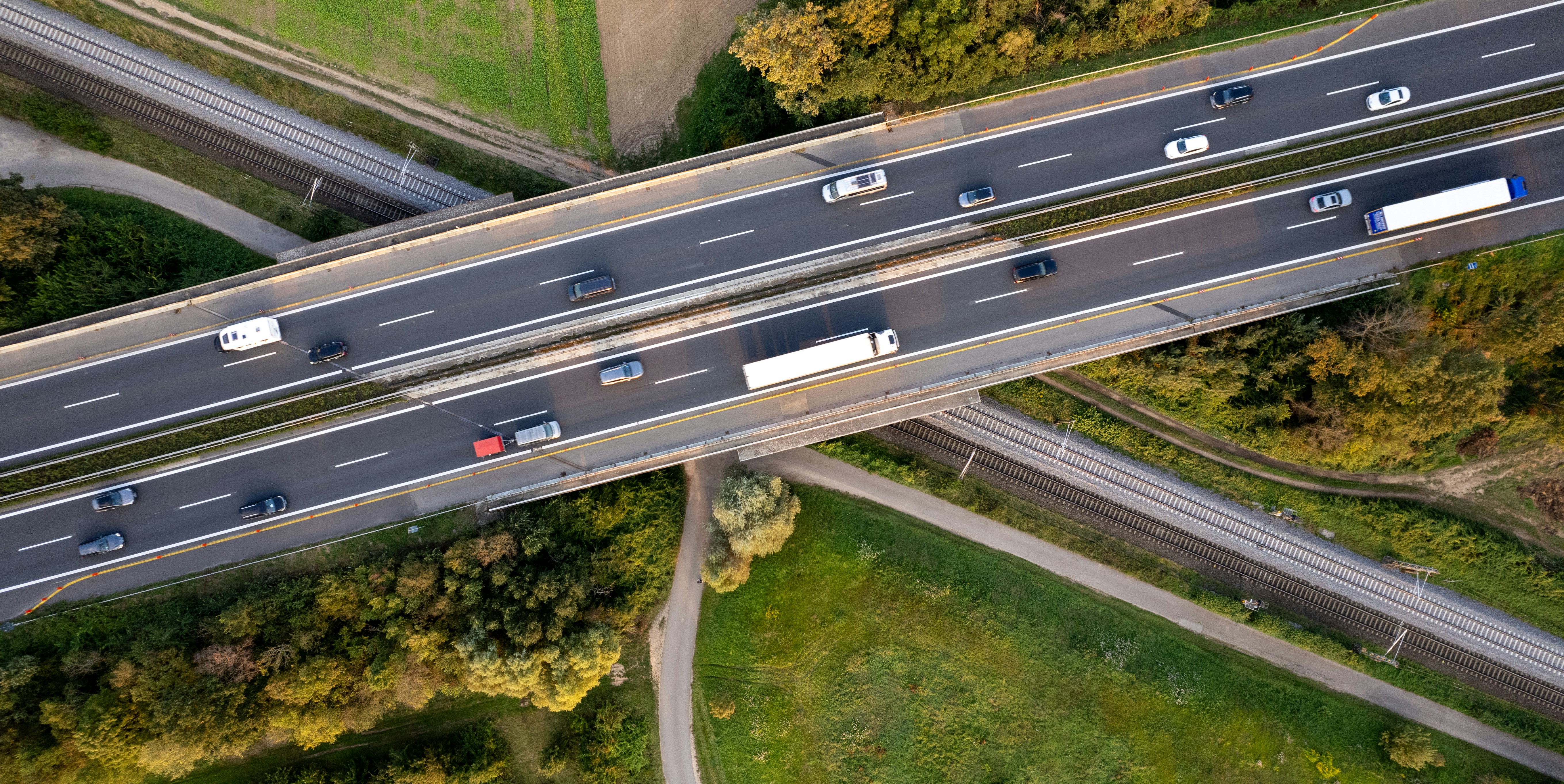
Rush Hour Concentration
Morning and afternoon rush hours account for 33.5% of all accidents, representing high-exposure windows for intervention.
- 7-9 AM: Peak morning commute window
- 3-6 PM: Peak afternoon commute window
- Combined: 2,588,624 accidents in peak hours (33.5% of total)
Note: This analysis shows when accidents occur, not crash risk per vehicle-mile. Higher accident counts during rush hours may reflect higher traffic volume rather than elevated risk.
Winter Holiday Spike
Winter months consistently show the highest accident volumes, with December peaking at 758,783 incidents (64% higher than the summer low in July):
- December: 758,783 (9.8%)
- November: 695,612 (9.0%)
- January: 652,682 (8.5%)
Holiday travel periods drive significant accident spikes requiring seasonal interventions.
Time-Based Enforcement
Strategic Resource Deployment
Align patrol schedules and emergency response positioning with documented accident concentration periods identified in our temporal analysis.
Implementation Approach:
- Pre-position response units at high-frequency corridors
- Coordinate with dispatch for faster deployment
- Target Fridays for enhanced coverage (peak day)
Rationale: Concentrating resources during high-volume periods improves cost-effectiveness regardless of per-vehicle risk rate.
FHWA Effectiveness Data
Weather & Traffic Impact Severity
Severity Scale (per dataset): 1-4 rating where 1 = short traffic delay, 4 = long traffic delay. This measures congestion impact, not injury outcomes.
Severity Rate by Weather Condition
Total Accidents by Weather Condition
Adverse vs. Fair Severity
Adverse weather conditions show higher severe rates than fair conditions:
- Rain: 23.5% severe (highest)
- Snow/Ice: 19.5% severe
- Fog/Haze: 16.2% severe
- Fair: 16.9% severe (baseline)
*Adverse group average: 21.16% vs Fair: 16.91% (Relative Risk: 1.252). Fog/Haze included in adverse grouping for warning system purposes despite lower severity.
Volume Distribution
Most accidents occur during good visibility conditions:
- Fair: 3,405,216 (44.1%)
- Cloudy: 3,163,750 (40.9%)
- Rain: 544,945 (7.1%)
Fair and cloudy together account for 85% of all accidents. "Adverse" weather (Rain, Snow/Ice, Fog/Haze) represents only 12% of total volume but warrants targeted interventions.

Weather-Responsive Systems
Why Weather-Responsive Systems Work
Unlike fair-weather accidents, weather-related crashes are preventable through early warning:
- Drivers can reduce speed before conditions worsen
- Trips can be delayed until conditions improve
- Emergency resources can pre-position along corridors
The higher severity rates during adverse conditions (documented in our weather analysis) make these interventions particularly impactful.
Cost-effectiveness note: Weather programs target conditions where behavioral interventions have proven effectiveness.
RWIS Implementation Model
FHWA RWIS Benefit-Cost Study, 2019
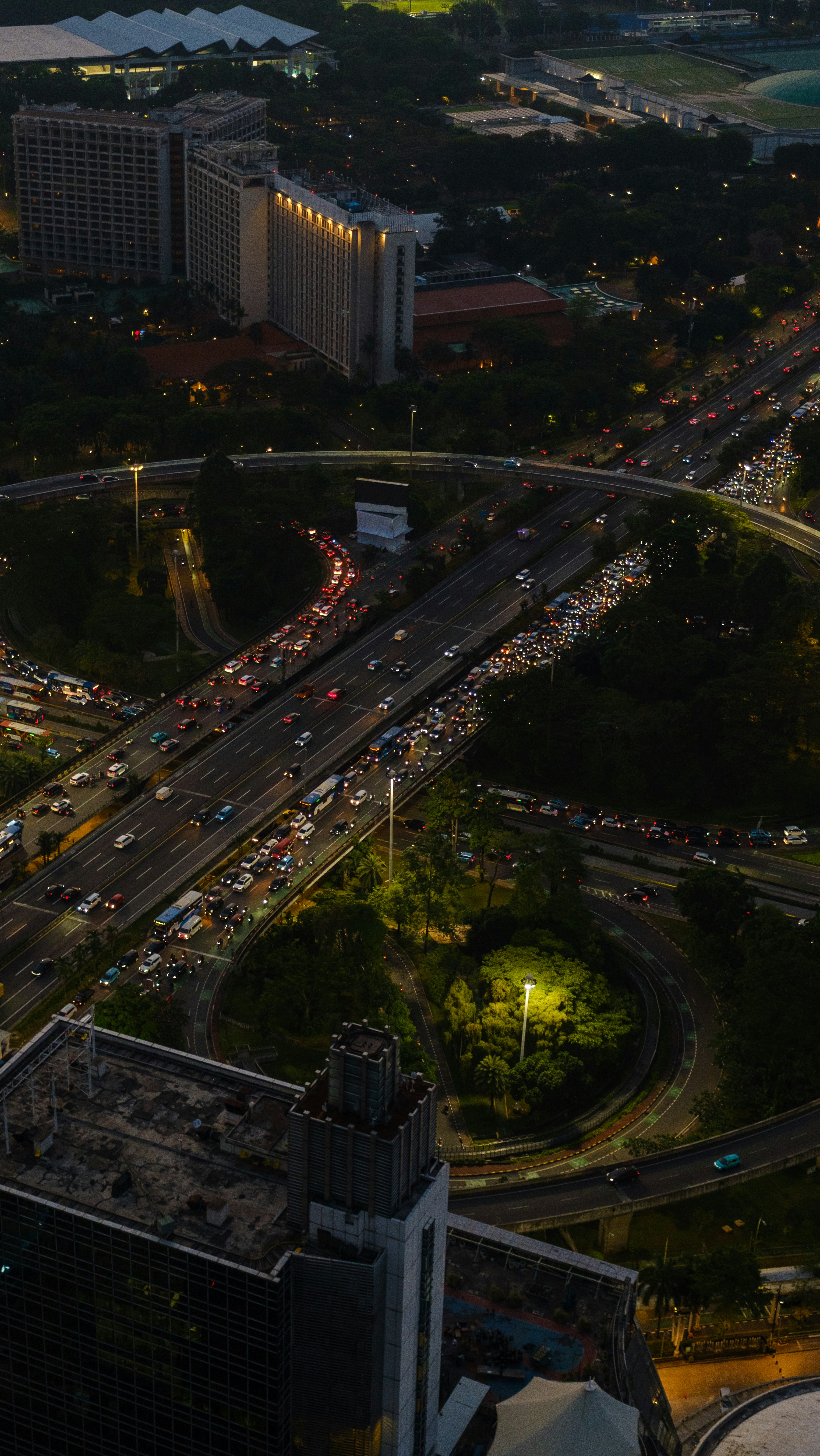
Geographic Concentration
Top 10 States by Accident Volume
Top 10 Cities by Accident Volume
State Concentration
The top 5 states alone account for 3,934,979 accidents (50.9% of total):
- California (22.5%)
- Florida (11.4%)
- Texas (7.5%)
- South Carolina (5.0%)
- New York (4.5%)
Urban Hotspots
The top 3 cities alone account for 512,687 accidents (6.6% of total):
- Miami, FL (2.4%)
- Houston, TX (2.2%)
- Los Angeles, CA (2.0%)
Data Source Note: Accident data is aggregated from streaming traffic APIs (state DOTs, law enforcement, traffic sensors). Coverage varies by state reporting infrastructure. Geographic patterns should be validated against official DOT records before major investment decisions.

Hotspot Investment
TIER 1: STATE INFRASTRUCTURE
California, Florida, Texas, South Carolina, New York (50.9% of accidents)
Physical Improvements:
- Intersection safety engineering (500 high-risk locations)
- Road Weather Information Systems (200-300 monitoring stations)
- Drainage upgrades in flood-prone areas
- High-visibility lane markers
Investment: $618M-$1.24B*
Federal Share: 90% (HSIP eligible)
Timeline: Years 1-7, phased rollout
Expected: 35,000-45,000 accidents prevented annually*
ROI: Benefits exceed costs 14:1*
TIER 2: METRO OPERATIONS
Miami, Houston, Los Angeles, Charlotte, Dallas (Top 5 urban corridors)
Rapid Deployment Programs:
- Adaptive traffic control systems (500-1,000 intersections)
- Real-time traffic monitoring
- Dynamic message signs & alerts
- Weather-responsive speed management
Investment: $88M-$221M*
Timeline: Years 1-5, pilot then scale
Expected: 58,000+ (rush hour) + 25,000-32,000 (weather) prevented*
ROI: Benefits exceed costs 20:1*
*Illustrative estimates based on FHWA HSIP unit costs and CMF effectiveness data. Actual costs require engineering studies. See notebook Section 5.3 for methodology.

Implementation Timeline

Recommendations Summary
Time-Based Enforcement
Patrol Alignment
Deploy resources during documented peak accident periods
10-15% crash reduction potential
Weather-Responsive Systems
RWIS Deployment
Real-time warnings and dynamic speed management
5-15% weather crash reduction
Hotspot Infrastructure
Tier 1 + Tier 2
Targeted improvements in top 5 states and metro areas
$706M-$1.46B investment
Combined Impact
118,000+
Accidents prevented annually (all programs)
Based on FHWA effectiveness benchmarks*
Implementation
Years 1-7
Phased rollout with quarterly effectiveness reviews
Pilot, validate, scale methodology
Return on Investment
14:1 to 20:1
Benefits exceed costs across all tiers
Per FHWA benefit-cost methodology*
*Illustrative projections based on FHWA HSIP effectiveness data. See notebook Section 5.3 for methodology and assumptions.
Next Steps
Implementation Priorities
Immediate Actions (Q1 2026)
- Secure HSIP funding for intersection safety audits
- Deploy RWIS monitoring systems in priority states
- Initiate traffic management system planning
- Establish baseline metrics across all programs
Measurement Framework
Success Metrics
- Monthly accident counts by corridor and location
- Weather-specific accident rates and severity measures
- Junction accident frequency and characteristics
- Quarterly effectiveness reviews vs. control corridors
Expected Outcomes
Year 5 Targets (2030)
- 20% aggregate accident reduction across all programs
- 115,000+ accidents prevented annually
- Measurable severity improvements in high-risk conditions
- ROI validation and program expansion planning